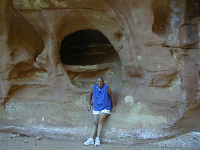
Saturday, May 15, 2010

Alaskan Cruise

Left Vancouver finally at 5:00 PM on Saturday May 14th.  Calm seas,  and overcast.  Heading up for dinner soon.  We are with the Crums, Schroeders, Moores, Story & Pat, and the Buchanans.  More photos to follow.

Saturday, February 20, 2010

My next computer (tablet)

http://www.notionink.in/adamoverview.php#s

Monday, August 29, 2005


This is the ridge line drive I talk about later. A thousand feet down on both sides Posted by Picasa


August 27, Saturday
We pulled out after indulging in a couple homemade cinnamon rolls made by one of the locals at the RV park. We headed south to Las Vegas and then north to Pahrump NV. We stayed in the new Western Horizons Winery RV Park. It was hot about 101� in the shade but there was no shade to be had. The park was very clean, all large gravel no grass or trees. We turned on the AC and stayed in the motor home until 3 o�clock when we went to the Winery for a tour.

It was a small winery, about 10,000 cases a year. They have out grown the existing space and are looking for someone to enlarge it. They only produced the wine there, aging and bottling it. They get the fruit from all over California, depending on the type of wine. Their specialty is a Symphony in the whites, and a burgundy in the reds.

They had WiFi in the park so I had a chance to catch-up on email and a little wikiHow. We had dinner in the Winery Restaurant and it was very good. We went back to the motor home and a funny movie for the rest of the evening.

August 28, Sunday
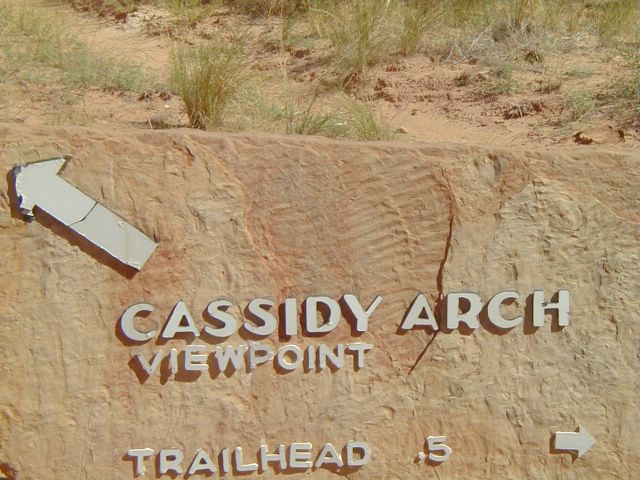
Heading home, going the back way to Baker. It is the road to Death Valley if you go north at the junction. We went south, (we will see Death Valley in the Winter) and met the I-15 at Baker and kept going until we hit the I-210. We got to Agoura at noon. I fueled the motor home and Debbie took the Honda on ahead.
 Posted by Picasa


Leaving Bryce and Highway 12 Posted by Picasa


Bad lands  Posted by Picasa


Looking down the north side of the road Posted by Picasa


Looking down the south side of the road Posted by Picasa


This is where is road was not as bad. Posted by Picasa


Comming to the end of the scarry drive, with mostly rounded sand stone mountains Posted by Picasa


August 24, Wednesday
Up early, out for breakfast and out to Capitol Reef National Park. We took the Gooseneck, Panorama Point side road about 3 � miles on a good gravel road to a location where the Sulphur Creak makes almost a closed meander known as a gooseneck loop. Back on the highway to the Park information center.

Started the first tour on the Scenic Drive. We went through an old Mormon family farm community named Frutia. It was established in 1917. The old barns and one house still remains. The orchards are full of fruit trees of all types.

Our first side trip was Grand Wash. We went east on a good gravel dirt road for about 4 miles down into the canyon. After that we walked another 1 � miles on the creak bed until the canyon walls were completely vertical and only about 50 feet apart.

Our next side trip was Capitol Gorge. This was an other good gravel and dirt road that followed the creak through the canyon that would eventually find its way to the Fremont River and the desert to the east. The rood went for about seven miles and stopped at the trail head for the rest of the canyon. The road used to go all the way through the gorge to Norton where it met the highway. They closed the road that was mostly the dry creak bed in 1952. The creak bed would flash flood when rain storms would suddenly come up without warning and trap people in the narrow wash with no high ground to find safety. The trail went by petroglyphs that were difficult to see. Further down the trail you came across what was called the settlers registry. It was a sheer rock wall with the names and dates settlers came through the canyon scribed into the rock. One of the earliest was 1883. We returned to the car and went back to the Visitor Center.

From the Visitor Center we went east on Highway 24 for about � mile where we saw the one room school used by the early settlers of Frutia, built in 1917. Further down the highway was a pull over to view some very good petroglyphs. We headed east and past the other end of the Grand Wash where it flowed into the Fremont River. We continued east until the river went over a small falls. From there we returned about 18 miles back to our RV park.
 Posted by Picasa


Unnamed waterfall on Fremont River near the end of out guided tour. Posted by Picasa


Petroglyphs Posted by Picasa


Click on photo for larger picture. Thse petroglyphs were well perserved Posted by Picasa


Petroglyphs were not that good here. Pioneer (Settlers) Register was great. Posted by Picasa


Settlers Registery Posted by Picasa


Settlers Registry in Capitol Gorge Posted by Picasa


Rock formation in the gorge, they used to drive through here Posted by Picasa


Canyon narrows as we go in  Posted by Picasa


Eroded sandstone or mudstone rock Posted by Picasa


More errosiion Posted by Picasa


Stand in a erroded sandstone cave Posted by Picasa


One of the water holes during the hike Posted by Picasa


Start of the hike Posted by Picasa


Photo to follow Posted by Picasa


This is suspose to be Butch Casady Hide Out. Look to the top center and the arch. Posted by Picasa


Old Uranimum mine went it was used for medical treatments in early 1900 Posted by Picasa